


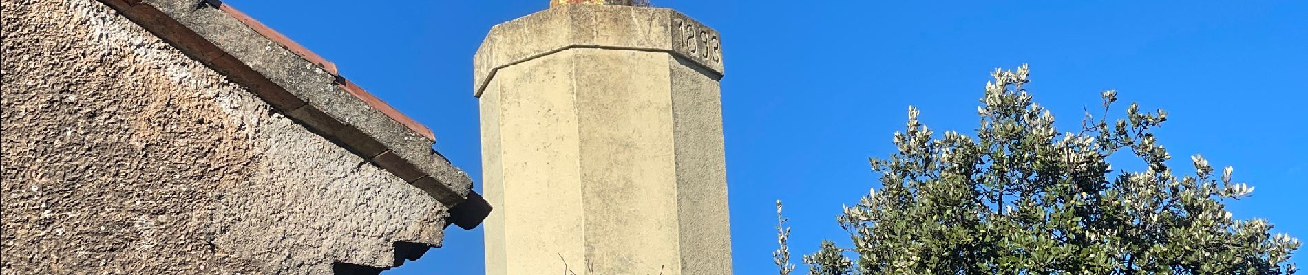
Mont cuit

michelpaulin
User

Length
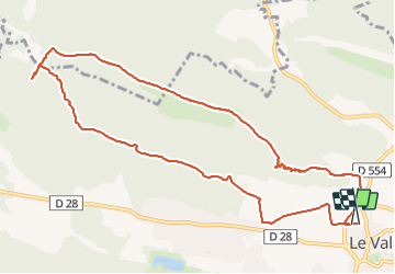
12.3 km

Max alt
520 m

Uphill gradient
485 m
Km-Effort
18.8 km

Min alt
241 m

Downhill gradient
488 m
Boucle
Yes
Creation date :
2023-10-31 09:07:03.0
Updated on :
2023-10-31 15:10:52.004

FREE GPS app for hiking
 SityTrail
IGN / Geographical institutes
SityTrail Plus
The world is yours!
About
Trail of 12.3 km to be discovered at Provence-Alpes-Côte d'Azur, Var, Le Val. This trail is proposed by michelpaulin.
Photos


Positioning
Country:
France
Region :
Provence-Alpes-Côte d'Azur
Department/Province :
Var
Municipality :
Le Val
Location:
Unknown
Start:(Dec)
Start:(UTM)
262922 ; 4813973 (32T) N.
Comments